ANCHORAGE MANAGEMENT
Automating and optimizing usage of previous resource

see also: AnchorageView Mobile
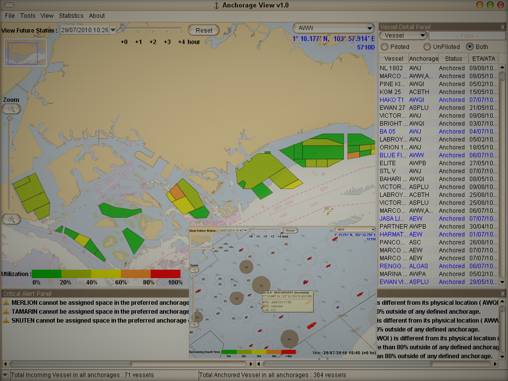
AnchorageView is a web-based real-time anchorage monitoring and planning tool to assist users in efficient management of and operation in anchorage space. It provides a live view of anchorage status, including utilization level, vessel locations and particulars, current direction as well as water depths etc. Based on the information of incoming and departing vessels, it also forecasts the future status of any selected anchorages at any point in time during the planning horizon.
Its auto-planning module, when activated, will assign anchorage space to incoming vessels with an optimization engine that maximizes space usage and minimizes vessel diversion. This ensures that the planners know ahead of time if there will be space available for vessels looking at using anchorages, and if not, corresponding actions can be taken ahead of time
AnchorageView also has a comprehensive statistics module which captures anchorage use from different perspectives, to allow users to have a 360 degree view of current anchorage usage, past trends and anomalies etc.
Why our clients like AnchorageView
- Web-based, access from anywhere
- Multiple user and authority controls
- Automated planning with optimization engine
- 360 degree view of anchorage usage
- Rich value-add functionalities such as geo-fencing, playback, and alerting
What our clients use AnchorageView for
- Terminal layout design
- Capacity assessment and enhancement
- Impact of green technology
- Performance of new equipment
- Use of location technology
- Operator training
